Regional Studies

The Körös Region has become a hotbed for regional-scale archaeological research over the course of the past few decades. The amount of archaeological information that has been made available from these regional-scale research projects makes the Körös region an ideal laboratory for investigating the demographic, social, cultural, and economic transformations that occurred on the Great Hungarian Plain throughout prehistory. As a result, the region has attracted many archaeological projects that work together in a complementary fashion to answer important questions about the archaeology of the region.
From the late 1960s to the mid-1990s, the Magyarország Régészeti Topográfiája (Archaeological Topography of Hungary) project was carried out in the Körös region. During the project, teams of ambitious archaeologists conducted systematic, intensive, surface surveys in an attempt to map all the archaeological sites in Békés County, an area of nearly 4000 km². The massive database that resulted from this project includes many thousands of archaeological sites that date from the Neolithic to the 17th century. The “MRT” project has been published extensively in multiple volumes, making Békés County one of the most comprehensively documented archaeological landscapes in the world.
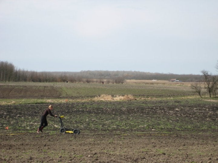
Over the past 20 years, the Körös Regional Archaeological Project has built on the foundational work of the MRT project by conducting our own environmental and archaeological studies. In addition to the many associated doctoral dissertations that have built on the seminal work documented in the MRT through our project, we also have analyzed settlement patterns from the Neolithic, Copper Age, and Iron Age. We have also used these datasets for exploring long-term settlement dynamics related to environmental, social, and economic changes. These regional-scale investigations also permit us to contextualize the results of site-based investigations in a broader geographic and temporal framework.